The long way to the beach
With soft roof racks in your luggage, two cam-buckle straps, and a thermos of hot coffee on the dashboard, a rental hatchback becomes a mobile surf camp. Road-tripping lets you work with changing wind directions rather than fighting them—and rewards flat spells with coastal towns, bakeries, and quiet river mouths you would never see from an airport shuttle.
The Green Coast: Biarritz to San Vicente de la Barquera
Threading west from the French Basque Country into Cantabria and Asturias along the N-634 and A-8 is one of the richest surf drives on Earth. Steep green mountains drop directly into dramatic estuaries and crescent sand bays, creating natural wind blocks against prevailing autumn westerlies.
Warm up on Côte des Basques longboard peaks or watch solid swells roll across Parlementia’s deep reef channel.
Stop for pintxos in San Sebastián before checking the Urdaibai estuary river-mouth sandbar at low-to-mid tide.
Wide Cantabrian sand beaches backed by snow-dusted Picos de Europa peaks—dependable swell magnets even on smaller summer days.
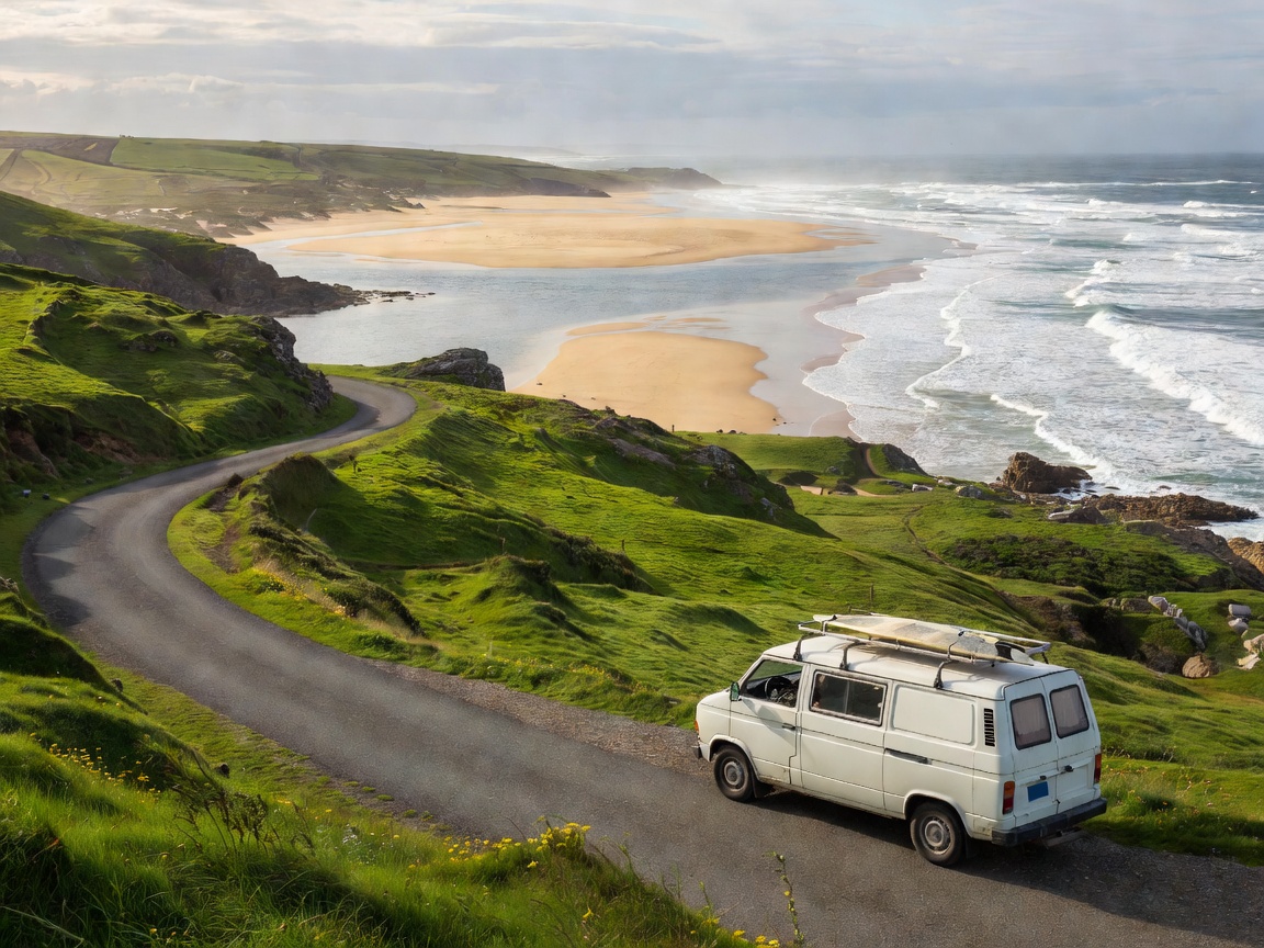
The Pacific Point Run: Crescent Head to Snapper Rocks
New South Wales’ Mid North Coast up to the Queensland border is built for right-hand point lovers. Because the Pacific Highway bypasses the small coastal villages, you can hop from one pandanus-fringed headland reserve to the next with minimal town traffic.
Begin at Crescent Head—spiritual home of Australian malibu longboarding—where smooth pebbles and sand groom 250-metre peelers right into the creek mouth. Continue north through Scotts Head and Angourie’s historic boulders before reaching Byron Bay’s Cape headland (The Pass and Wategos), where northeast sea breezes blow directly offshore into the bay.
- PRIME SEASON: February–May (Warm water, cyclone groundswells, light morning offshores)
- CAMPING TIP: Book NSW National Parks beachfront campgrounds (Point Plomer, Delicate Nobby) well ahead during school holidays
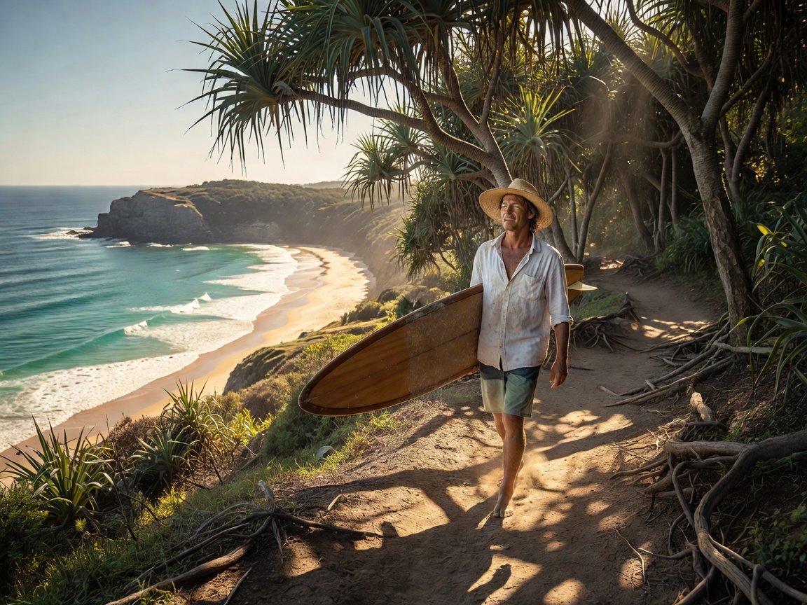
Highway 1 Kelp Beds & Taranaki’s Volcanic Cape
In California, autumn (September to November) is the golden window for driving Highway 1 from Santa Cruz down through Big Sur and Morro Bay to Rincon and Malibu. The summer coastal fog clears, water temperatures linger around 16°C–18°C, and early North Pacific swells light up kelp-bed reefs like Pleasure Point and Steamer Lane before winter storms churn the coast.
In the Southern Hemisphere, New Zealand’s Surf Highway 45 traces a 105-kilometre semicircle around Mount Taranaki from New Plymouth to Opunake. Because the road curves 180 degrees around the volcano, a shift in wind from northwest to southwest simply means driving twenty-five minutes around the cape to find clean offshore lines at Stent Road, Kumara Patch, or Green Meadows.
- ROAD TRIP KIT: Pack heavy-duty FCS/Dakine soft racks, a plastic tub for wet 4/3mm steamers, and a twist-lock key safe for non-electronic spare car keys.